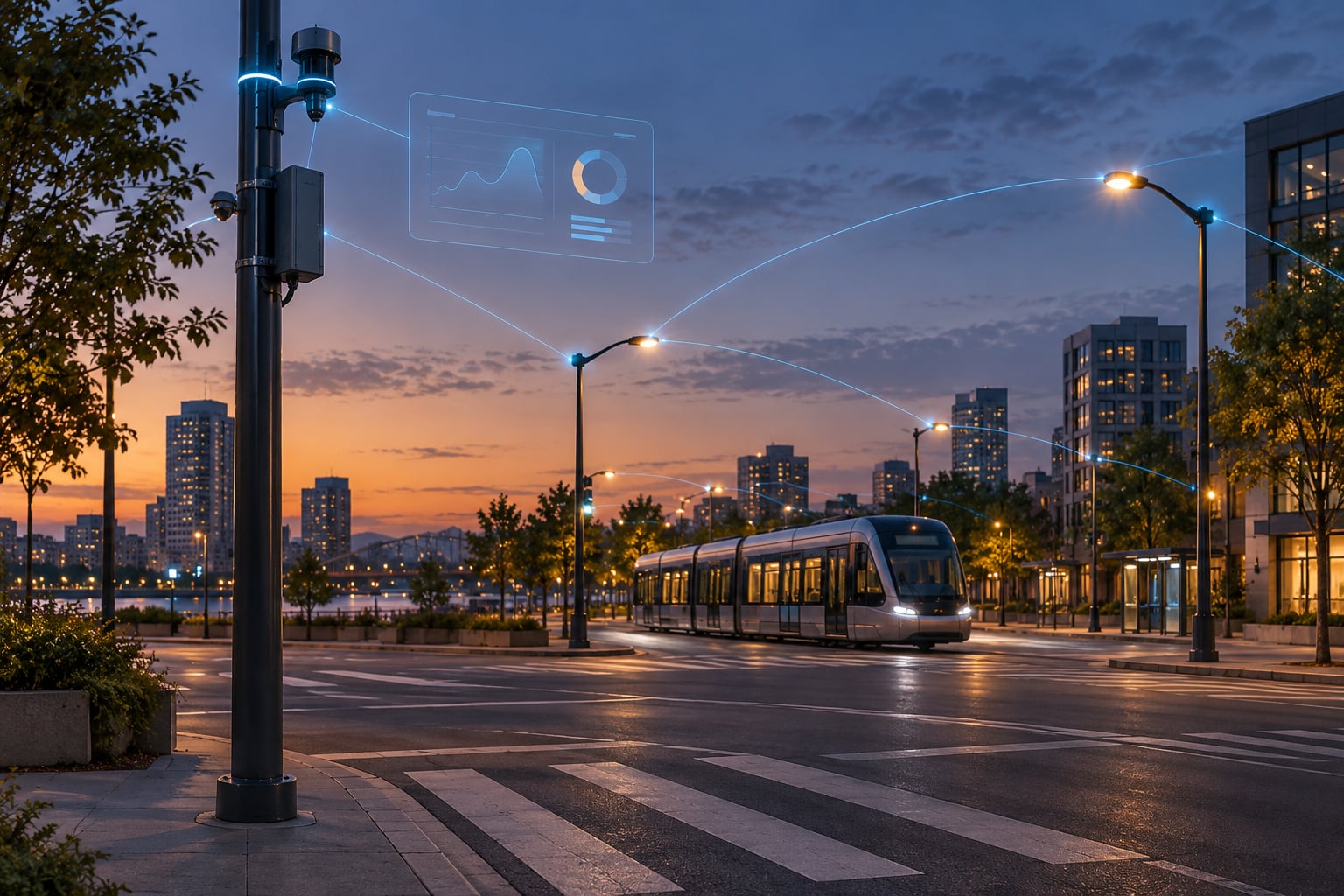
Smart city technology is a connected network of sensors, meters, cameras, software and civic apps that a city uses to collect data about how urban services actually work, analyze it centrally, and adjust services such as traffic signals, street lighting, parking, energy, water and waste in near real time. The goal is fewer guesses and faster, cheaper public services.
In short, what is smart city technology and how does it work comes down to a repeating loop: sense, transmit, analyze, act, then feed the results back into the next round. Every technology below is one part of that loop, and a city only gets the benefit when all the parts are wired together.
Since roughly 54.5% of the world lives in urban areas, and that share is heading toward 60% by 2030, municipal budgets are not keeping pace with the number of people using them. Smart city technology is the attempt to squeeze more out of infrastructure that already exists.
Table of Contents
- What Is Smart City Technology?
- How Does Smart City Technology Work?
- What Are the Main Parts of a Smart City System?
- How Is Data Collected, Analyzed, and Used?
- What Can Smart City Technology Do in Everyday Life?
- How Do Cities Use Apps, Sensors, and Connected Infrastructure Together?
- What Are the Benefits and Challenges?
- How Can Cities Build Smart City Technology Responsibly?
- Frequently Asked Questions
- Conclusion
What Is Smart City Technology?
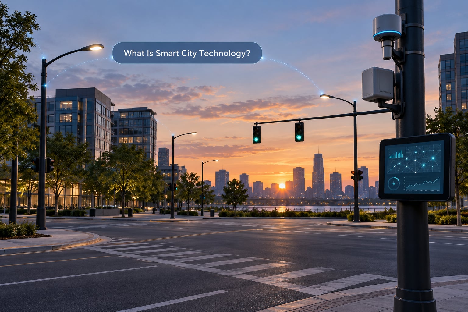
Smart city technology is any combination of information and communications technology used to run urban services better. The United Nations frames it as using ICT for urban development, and the UN-Habitat work built on that idea treats a city as a system rather than a collection of departments.
In plain English, it means equipment that reports what is happening, software that works out what should happen next, and a way to actually change the outcome. A lamp post that reports a fault, a meter that reports hourly use, a camera that counts vehicles, a bin that reports its fill level: each one is a small piece, and each one is useless on its own without something listening.
It is worth separating this from ordinary digital services. A parking permit you buy on a phone, a council website, a PDF report about roadworks: those are digital, and they are also useful. They just are not smart city technology, because they publish information rather than sensing a condition and acting on it.
The distinction that catches people is a smart building versus a smart city. A smart building optimises one structure. A smart city has to coordinate thousands of assets that belong to different departments, different owners and different budgets, and that coordination is where the hard part lives.
How Does Smart City Technology Work?
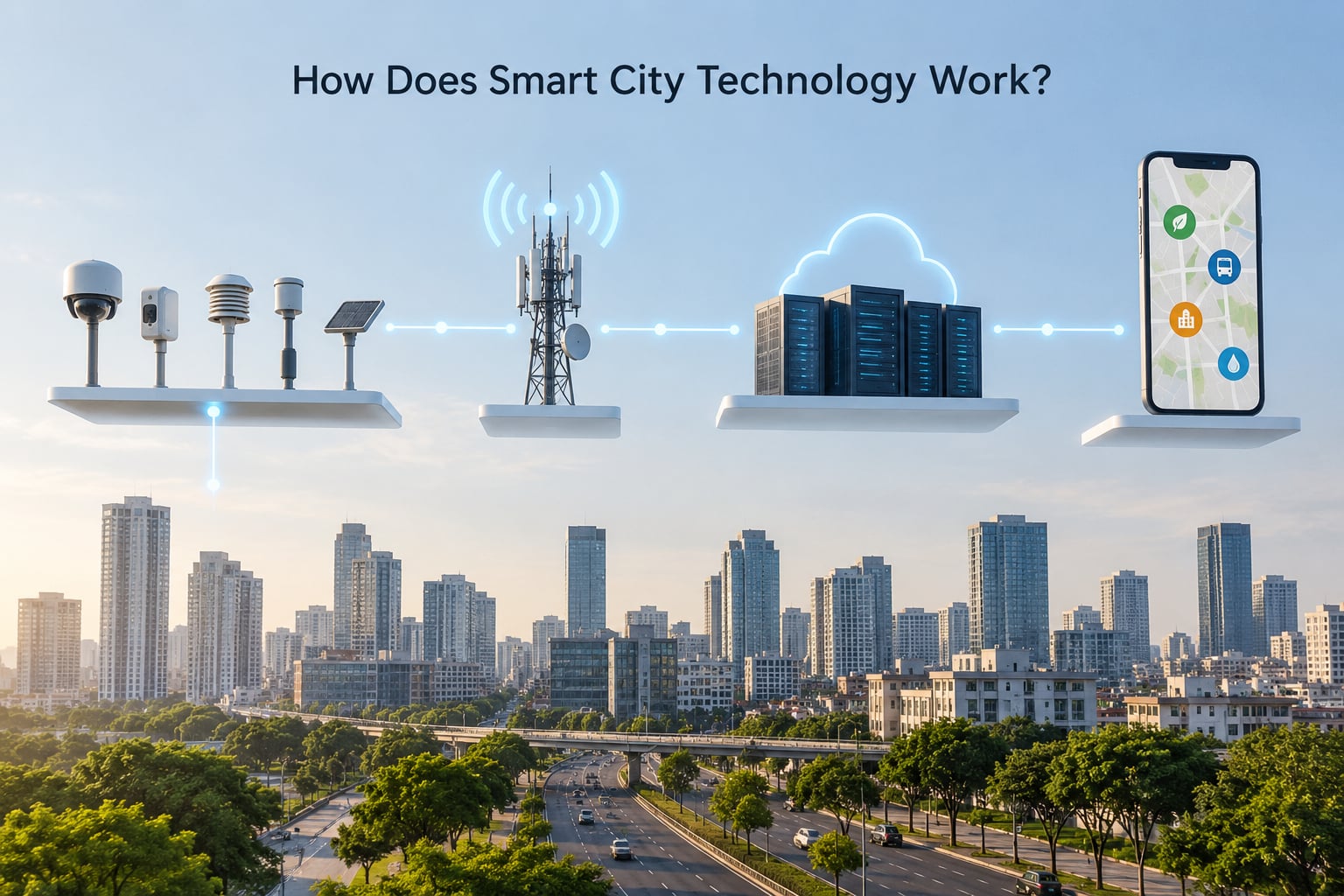
The mechanism is easier to grasp as five steps that repeat continuously. Once you have seen the loop, most individual products make sense in about a minute.
- Sense. Sensors, meters, cameras, vehicle transponders and phones measure traffic counts, air quality, water pressure, energy use, bin fill levels, road surface temperature, noise and more. Some read a physical quantity, some count people or vehicles, and some simply report whether a device is switched on.
- Transmit. Readings move over fiber, Wi-Fi, licensed and unlicensed radio, cellular networks, or low-power wide-area networks designed for small battery-powered devices. Latency matters: a traffic signal needs an answer in under a second, while a leak sensor can send a reading every fifteen minutes.
- Store and analyze. A city data platform receives the stream and combines it with historical records, asset inventories, weather, schedules and geospatial layers. Dashboards show operators what is happening now, while models look for patterns such as a failing valve, a rising demand curve or a predicted road closure.
- Act. Something changes. A signal controller retimes a green light, a control room dispatches a crew, LED streetlights dim on an empty stretch of road, a waste route is reordered, or a resident gets a message and a map.
- Improve. The outcome is measured against the target, and both the measurement and resident feedback go back into step one. This is the step most pilot projects skip, and it is the reason many pilots never survive contact with a real budget.
A concrete example: a bus lane approach junction counts vehicles and people waiting every few seconds. The controller extends the green for a bus that is late and shortens it for empty road, while holding a pedestrian phase long enough for someone using a wheelchair. The sensing and analysis happen continuously, and no human clicks anything during the normal day.
The same shape works for a water main. Pressure sensors report continuously, a model compares the readings against what a healthy pipe looks like, and a drop below normal at 3am raises an alert with a location and a suspected cause, long before a street floods.
What Are the Main Parts of a Smart City System?
A working smart city is a stack, and failures usually come from gaps between layers rather than from the sensors themselves. These are the layers that have to line up.
| Layer | What sits there | Job it does | Everyday example |
|---|---|---|---|
| Physical infrastructure | Roads, buildings, pipes, power lines, lamp posts, transit vehicles, public space | The thing being managed | A bridge deck that reports strain |
| Sensing layer | IoT sensors, smart meters, cameras, vehicle detectors, acoustic and air quality sensors | Measures real-world conditions | A smart water meter reporting hourly use |
| Connectivity | Fiber, Wi-Fi, 5G and other cellular, LPWAN, LoRaWAN, licensed radio for utilities | Moves readings to where they can be used | A low-power radio link from a buried water sensor |
| Data platform | Cloud or on-premise storage, streaming pipelines, GIS, asset systems, digital twins | Turns streams into reliable records | A live map of every bin and its last reading |
| Analytics and applications | Dashboards, predictive models, optimisation, control logic, citizen apps, open APIs | Turns records into a decision | An app showing which car parks have space |
| Governance and participation | Data policy, retention rules, procurement, standards, public dashboards, resident reporting | Decides who may collect, share and keep data | A published retention limit for camera footage |
Two definitions help here. A digital twin is a live virtual model of a physical system, updated from sensor data, that planners use to test a change before it is built. Edge computing means analysis happens on a device near the sensor instead of in a distant data centre, which cuts latency and keeps working when the network drops.
How Is Data Collected, Analyzed, and Used?
Every number a city holds arrives from somewhere, and knowing the source tells you how much to trust it. The main sources are fixed sensors, mobile and vehicle data, administrative records, commercial and partner feeds, and resident-submitted reports through 311-style apps.
Analysis splits into two tempos. Real-time analysis handles the next minute: current congestion, water pressure, power load, incident detection. Batch analysis handles the next season: seasonal demand, asset condition, budget planning, evaluating whether last winter’s signal retiming actually helped.
Historical data is what separates a dashboard from a real system. A single temperature reading tells you little. Four years of readings against maintenance records tell you which transformers run hot, when a pipe usually fails, and where a sensor is lying.
Decisions then split too. Some are automated, like a signal controller responding to a queue length. Some are assisted, where an operator sees a ranked list of alerts and confirms a dispatch. Some are analytic only, where a model produces a report for a planning decision months later. Deciding which is which is a governance choice, not a technical one.
Privacy safeguards belong inside this loop rather than after it. Data minimisation means collecting only what the service needs. Retention limits mean footage or readings are deleted on a published schedule. Purpose limitation means a parking dataset is not repurposed for enforcement. An audit log records who queried what, which is what lets a city answer a public records request honestly.
What Can Smart City Technology Do in Everyday Life?
Mobility is the most visible category. Signal coordination, bus priority, smart parking guidance and real-time arrival displays all come from the same underlying data. The resident-facing version is an app that says when the next bus is actually arriving rather than what the timetable promised.
Energy work covers smart grids, smart meters, smart street lighting and building management. Meter data lets a utility see a peak demand curve and shift or reduce load instead of firing up a peaker plant. Lighting that dims when a street is empty is one of the oldest, cheapest and most measurable wins on this list.
Water and waste are where the money often is. Smart meters catch continuous leaks, level sensors in bins drive collection routes instead of fixed weekly pickups, and fill sensors avoid compactors driving past half-empty containers on the hottest days of the year.
Public safety covers flood and weather alerting, coordinated emergency response, video analytics that flag an incident for a human to check, and air quality monitoring. Most of these are decision support. Very few are automated enforcement, and the difference matters a great deal.
Everyday services run on citizen reporting apps, permit and payment systems, digital kiosks, open data dashboards and accessibility features. A resident who reports a pothole from a bus stop and can watch its status change is seeing the loop end to end, which is usually the moment scepticism turns into support.
Tourism and accessibility benefit too: crowd and queue information at transport hubs, accessible route planners, occupancy data used to keep a visitor centre staffed sensibly.
How Do Cities Use Apps, Sensors, and Connected Infrastructure Together?
The service a resident actually touches is usually the last link in a long chain, and for civic app developers that chain is where the work is. A parking app does not detect cars; it reads a feed from a city platform that aggregates sensor and camera output through a municipal API.
Most cities publish some of that data through open data portals and APIs, on licences ranging from open, to attribution-required, to restricted for safety or commercial reasons. Developers build against those feeds, which is why a clear data dictionary and a documented update frequency matter more than the number of endpoints a city advertises.
Interoperability is where projects quietly fail. If the traffic department’s system, the transit agency’s feed and the parking operator’s platform all model a bus stop differently, every integration becomes a bespoke job. That is the reason open standards such as NGSI-LD and FIWARE for context data, OGC standards for geospatial exchange, oneM2M for machine-to-machine communication, and frameworks like the NIST Smart Cities Framework exist at all.
A good worked example of the whole chain: curb sensors report loading activity, a platform merges it with permit and delivery data, a model flags a blocked cycle lane on a school run, the control room confirms on camera, a message goes to the offending vehicle owner through an enforcement app, and the outcome is logged so next month’s model improves.
What Are the Benefits and Challenges?
The benefits are real but conditional. Efficiency comes from acting on information instead of on a fixed schedule. Sustainability comes from less wasted energy, water and collection mileage. Resilience comes from knowing a failure earlier. Better decisions come from sharing one dataset instead of six departments each holding a partial copy.
Accessibility can improve noticeably when systems are designed with people rather than added for them afterwards, though badly designed apps reliably exclude the people with the most to gain from them. Equity is the sharp edge: investment tends to cluster in districts that already have good services, so a smart city programme can widen a gap rather than close one.
The challenges are equally real. Every connected lamp post, meter and signal is a device that can be attacked, and water, power and traffic control count as critical infrastructure. A compromise on a data platform can be far worse than a single broken sensor, and fail-safe behaviour has to be designed in rather than hoped for.
Privacy and surveillance concerns are the most cited objection, and they are not the same objection. People discussing smart meters often argue the risk is overstated, since a meter reports consumption rather than tracking who is home, and that the real failure is a utility sitting on data it never uses. People discussing cameras and licence plate readers are describing a different and more serious capability. Treating the two as one conversation is how trust gets lost.
Transparency is the demand that comes up most often in public discussions. Residents want to know what is collected, why, who can see it and how long it is kept, and they want an answer before the equipment goes up, not after.
Cost and vendor dependence run alongside the technical risks. Projects commit hardware with no funded plan to maintain or replace it, and contracts sometimes leave data ownership or reuse with the vendor. Several well-documented programmes illustrate this. Quayside in Toronto, Google’s Sidewalk Labs project, was cancelled by local vote after residents objected to its data governance terms. Rio de Janeiro’s CICC operations centre and COR data platform were built around the 2014 World Cup and 2016 Olympics, and researchers found they did little to close chronic infrastructure deficits and inequality in the city.
The pattern worth remembering from community engagement research is that failed projects often do not get called failures. They get quietly relaunched under a new name, which is why published outcomes matter.
How Can Cities Build Smart City Technology Responsibly?
Start with a public problem, not a product. Write down the outcome in measurable terms, such as response time, energy per unit of service, or litres lost per kilometre of pipe, before any vendor conversation happens. Programmes that buy sensors first and search for a purpose afterwards struggle to prove value for years.
Then write the data rules before the contract does. Say what is collected, what is never collected, how long each dataset lives, who owns it, whether residents can inspect it through a public records request, and what happens when a vendor contract ends. Publish these as a policy the public can read, not as clauses buried in an appendix.
Build on open standards and insist on exporting your own data in a documented format. A city that cannot leave one vendor without losing its history has signed up for a decade of dependence, and no amount of good procurement fixes that later.
Run small pilots with a pre-agreed kill criterion. Agree in advance what result ends the pilot, because that decision is much harder once a project is visible and political.
Design for the people with the least, not the most. Public Wi-Fi, kiosks and multilingual apps in the districts that get least investment are how a programme becomes equitable rather than decorative.
Measure publicly, publish the failures, and get independent security audits rather than vendor assurance statements. The NIST Smart Cities Framework and comparable playbooks give a workable structure for all of this: outcomes, data, governance and community involvement in one loop rather than four separate documents.
Frequently Asked Questions
What is the difference between a smart city and a smart building?
A smart building optimises one property: its HVAC, lighting, lifts and energy use, usually with sensors and a controller inside the same site. A smart city applies the same idea across thousands of assets owned by different departments, contractors and utilities, and has to coordinate data and decisions between them. A smart building usually has one owner with one budget; a smart city has shared governance, public records obligations and legacy systems that cannot be replaced quickly.
Do smart cities always use artificial intelligence?
No. Plenty of useful smart city systems rely on straightforward rules rather than machine learning: a signal that extends green for a bus, a light that switches on at dusk, a valve that closes when pressure drops below a threshold. Analytics become useful when there is a large volume of historical data and a pattern worth predicting, such as equipment failure or demand. Some cities start with rules and add models later, once they trust their own data.
Is 5G required for smart city technology?
Not at all. Fiber, Wi-Fi, licensed utility radio and low-power wide-area networks such as LoRaWAN carry most municipal sensor traffic today, and that is usually the right choice for a battery-powered device sending a small reading every few minutes. High-bandwidth 5G helps for video, vehicle-to-infrastructure messaging and large event crowds. It is an upgrade for specific use cases rather than a foundation the whole system stands on.
How do smart city systems protect personal data?
The safeguards that matter are policy rather than encryption alone: collecting only what the service needs, publishing retention limits, banning reuse of a dataset for another purpose, keeping ownership with the city, logging every access, and letting people exercise public records requests. Minimising data at collection is stronger than deleting it later. Cities that publish these rules before deploying equipment build more trust than cities that explain the policy after a camera goes up.
Can small cities become smart cities?
Yes, and in some ways they can do it faster because they own their utilities and have fewer legacy systems. A small city rarely needs a citywide data platform before it needs reliable leak detection, adaptive street lighting, waste level sensors and one good citizen reporting app. Interoperability matters more at scale than sophistication. The honest constraint is maintenance budget: a small city should pick two services it can keep running for a decade rather than ten it cannot afford to fix.
Who benefits most from smart city technology?
Residents benefit most when a service measurably improves, such as shorter waits, fewer leaks, cleaner air or faster fault repairs. Operations teams benefit immediately from better situational awareness, and developers benefit from open data and APIs that were previously unavailable. The risk is that benefits concentrate in well-served districts and in the vendor selling the system, which is why published performance and equity reporting matter as much as the technology itself.
Conclusion
Smart city technology is a connected set of sensors, networks, data platforms and applications that runs a five-step loop: sense, transmit, analyze, act, improve. The technology itself is ordinary enough. What makes a city smart or not is whether the loop closes properly, whether the data is governed in public, and whether anyone measures whether residents actually noticed.
If you want to start, pick one civic problem that annoys people, define the data and the users involved, and test a single measurable service with published retention rules. One working loop beats a thirty-item strategy every time.