To geocode an address dataset, split each address into its components, clean and deduplicate those values, run them through a geocoding service in resumable batches, then join latitude and longitude back to your original rows using a stable ID. The hard part is not the lookup. It is catching the rows where the geocoder confidently returned a plausible point that is not the address you meant.
That failure is quiet. A file goes out, a file comes back, the coordinates column is full, and the match rate says 94 percent. Nothing flags the six percent, and nothing tells you whether the 94 percent landed on a rooftop, a parcel centroid, or a guessed position halfway down a street segment.
Most teams get a usable result and assume it is trustworthy. This guide walks through a pipeline where the match level is decided before the service is picked, every batch is reproducible, and validation is built into the run rather than bolted on afterwards. It applies whether you are working with 300 rows or 300,000, and whether you write code or never open a terminal.
Table of Contents
- What You Need to Geocode an Address Dataset Without Errors
- Step-by-Step: How to Geocode an Address Dataset in Seven Stages
- 1. Define the Address Schema and Geocoding Goal
- 2. Clean, Normalize, and Deduplicate the Addresses
- 3. Choose a Geocoding Method and Test a Sample
- 4. Submit the Dataset in Safe, Reproducible Batches
- 5. Map Results Back to the Original Records
- 6. Validate Accuracy and Investigate Low-Quality Matches
- 7. Store, Document, and Export the Geocoded Dataset
- Common Mistakes That Corrupt a Geocoded Dataset
- Frequently Asked Questions
- What is the best way to geocode a large address dataset?
- Should I use a geocoding API or an offline address database?
- How many addresses can I geocode at one time?
- What coordinate system should I use for an address dataset?
- How do I measure the accuracy of geocoded addresses?
- Can I publish geocoded records that contain personal data?
- Conclusion
What You Need to Geocode an Address Dataset Without Errors
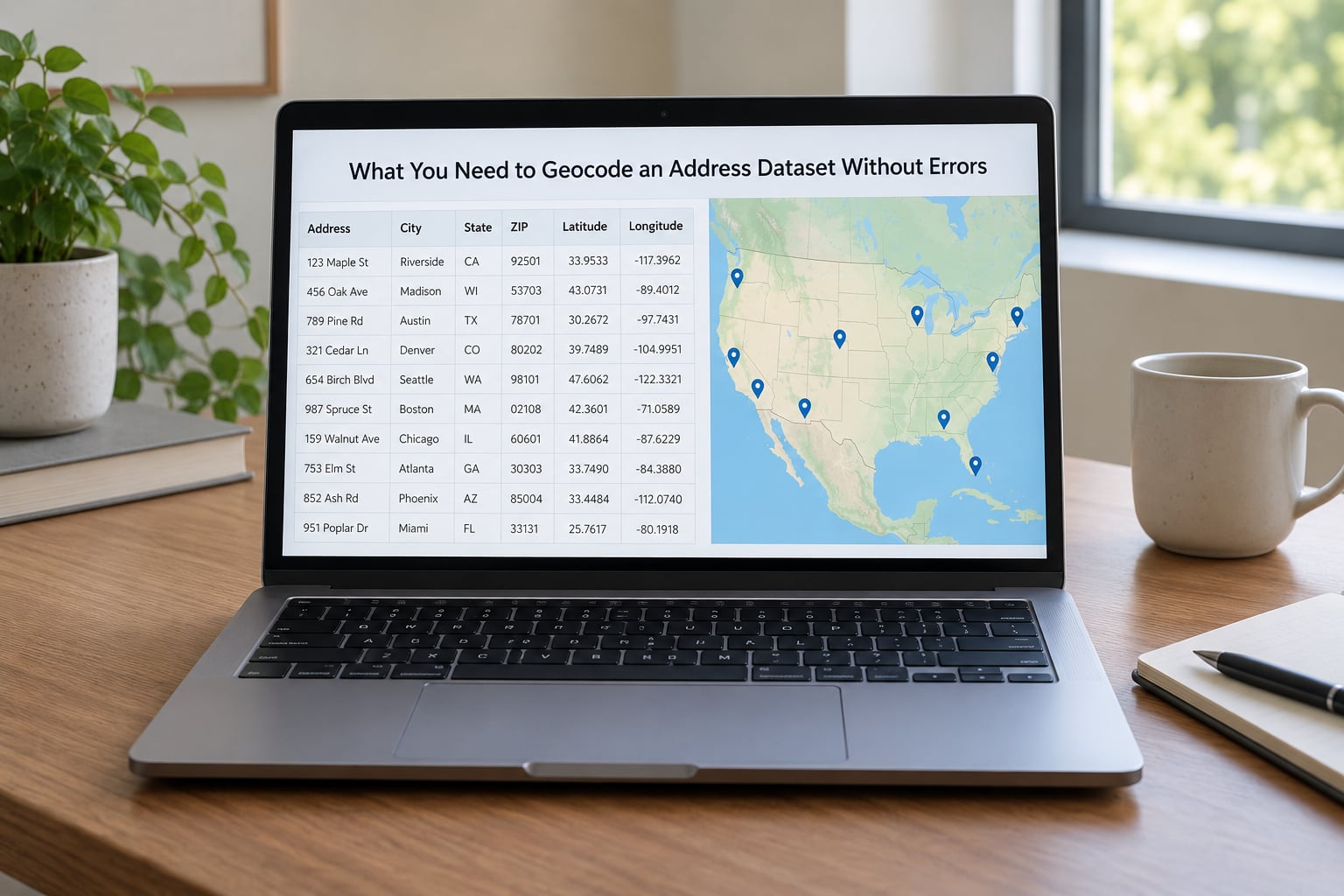
Most failed geocoding projects are missing one of six things. Gather them before you send a single request.
Input address fields, split apart. House number, street name, unit, city, state or province, and postal code each belong in their own column. A single free-text cell is the single most common cause of low match rates.
A stable record ID. Every row needs an identifier that survives the round trip. If you join results back by address text, any correction you make along the way will break the join and attach a coordinate to the wrong record.
A geocoding source and its reference data. Hosted APIs, bulk data products, and self-hosted services all resolve addresses against different reference datasets. Know which one you are using, because it determines what accuracy level you can expect.
Credentials and the service’s usage terms. An API key, a quota figure, and a per-request rate limit. Public geocoders such as Nominatim publish a usage policy, and bulk jobs that ignore it get throttled or blocked.
A scripting environment. Python with pandas and geopandas covers most of the work and handles the batching, retry, and file handling that manual processes do not. For no-code work, a browser-based batch service and a spreadsheet will do the same job at smaller volumes.
Reference boundary files for your study area. A boundary polygon, ZIP code list, or census tract shapefile. These let you flag results that fall outside the geography you actually care about, which is where silent errors cluster.
A quality-control worksheet. Somewhere to log the sample you check by hand, the match codes you see, and the rows you rejected. This is what lets you report a match rate instead of guessing at one.
Step-by-Step: How to Geocode an Address Dataset in Seven Stages
1. Define the Address Schema and Geocoding Goal
Inventory what you actually have. List every address-related column, count how many rows are populated in each, and check whether your components are already separated or mashed into one string.
Then write down what the coordinates are for. A delivery zone analysis that tolerates a street-segment point needs a different answer than a utility asset inventory that expects a rooftop. If you skip this step, you end up paying for rooftop accuracy and then rounding it away, or settling for ZIP centroids and discovering it during analysis.
Keep every source column untouched in your working file. Write normalized values into new columns beside the originals so you can always see what changed.
Success check: you can state in one sentence the match level you need and the components available to deliver it.
2. Clean, Normalize, and Deduplicate the Addresses
Standardize the obvious noise: trim whitespace, collapse double spaces, fix inconsistent casing, and normalize punctuation. Abbreviations need care. USPS standard forms such as St, Ave, Blvd, and Rd help US reference data match, but expanding them in a dataset outside the US often makes things worse.
Normalize unit designators too. Apt, Apartment, Ste, Suite, Unit, and # appear interchangeably in the same column, usually because different people typed them.
City names deserve particular attention. Nicknames and informal forms such as LA, Philly, or NYC will not match any reference dataset. Abbreviated city names paired with a state abbreviation can also resolve to the wrong city when several share a name, so validate those rows against the ZIP code.
Deduplication is where teams cause damage by being too aggressive. Two rows with the same street address may be two units in one building, two parcels with the same mailing address, or two clinic sites in one campus. Deduplicate on the full unit and site identifier where one exists, and log how many rows each merge removed.
Success check: a normalized column exists beside the untouched original, and the duplicate count is recorded rather than assumed to be correct.
3. Choose a Geocoding Method and Test a Sample
Three families cover nearly everything. Hosted APIs handle general work well and expose a confidence or match-type field, at a per-request cost. Bulk data products like TIGER/Line or national address databases let you match offline with no request fees, but you build the matching logic yourself. Self-hosted services built on OpenStreetMap data give control over sensitive data and volume, and carry setup and maintenance cost.
Never pick on documentation alone. Take a stratified sample of a few hundred rows, weighted toward the hard cases: rural addresses, new subdivisions, apartment buildings, older records with missing ZIP+4. Run it against two or three candidates and record match rate, match-type distribution, and positional agreement between them.
Disagreement between providers is normal, not a bug. Two services returning points 200 meters apart usually means one of them interpolated. Look at which one returned a matched address closer to your input string.
Also settle licensing at this stage. Data usage terms differ across providers, and some carry restrictions on redistribution of derived geocoded output.
Success check: you have a written sample result per provider, including match rate and match-type breakdown, before committing to a full run.
4. Submit the Dataset in Safe, Reproducible Batches
Chunk the dataset into batches sized to stay inside the rate limit with headroom. A thousand rows per batch is a reasonable default, adjusted to whatever your provider documents.
Log every request and every response: batch number, row range, timestamp, retry count, and status. Resumability depends entirely on this log, because it lets you restart the last incomplete batch rather than the whole job.
Handle failures deliberately. Retry on timeouts and rate-limit responses with exponential backoff, cap the retry count, and write exhausted failures to a separate file instead of letting them pass silently.
Cache results as you go. Addresses repeat far more often than people expect, especially in multi-unit buildings and agency datasets spanning years, and caching means you never pay twice for the same string.
If your provider offers an asynchronous batch endpoint, use it. Submitting a job and polling for results avoids the rate-limit math entirely.
Record the run’s parameters: service version, reference data date, batch size, and processing date. A geocode run you cannot reproduce is a geocode run you cannot defend.
Success check: you can delete the output and rebuild it from the log alone.
5. Map Results Back to the Original Records
Join on the record ID, never on the address string. The join output should carry latitude, longitude, the provider’s formatted or matched address, match type, confidence or relevance score, a bounding box where offered, and the provider’s reference identifier.
Preserve unmatched rows with empty coordinate fields rather than dropping them. A row that failed is data too, and losing it quietly inflates your match rate.
Watch for duplicate matches. When a provider returns the same coordinate for a large share of rows, that usually means it fell back to a locality or postal centroid rather than resolving the street address, and it will distort any density analysis you run.
Check your join row count against the input row count before you go further. A silent many-to-many join is one of the most common ways a clean result becomes a corrupted file.
Success check: output row count equals input row count and every coordinate traces back to exactly one source row.
6. Validate Accuracy and Investigate Low-Quality Matches
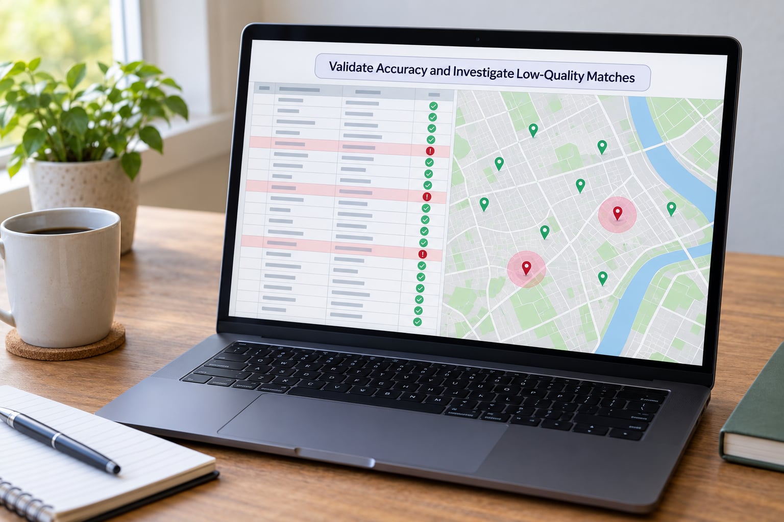
Run these checks before looking at a single number, because each one catches a different error class.
Coordinate order. Confirm latitude sits in roughly minus 90 to plus 90 and longitude in roughly minus 180 to plus 180. Swapped axes are silent and produce a map full of points in the ocean, or a hard failure at projection time.
Coordinate reference system. Store WGS84, the web map standard, and record it explicitly. Web Mercator is a display projection and should not be stored as your working CRS.
Impossible and out-of-range values. Null, zero, or out-of-bounds coordinates mean the lookup failed or returned a placeholder.
Duplicate points. Clusters of identical coordinates mean fallback matching. Count them; they are effectively unmatched rows wearing a coordinate.
Low-confidence and interpolated matches. Pull every row scored below your threshold and every row where the provider interpolated rather than matched directly. Interpolation estimates a position from the address number range along a street, which is reasonable for a service-area map and unacceptable for anything that decides where a person receives an emergency response.
Out-of-area results. Spatial join your points against the study-area boundary file and inspect everything that lands outside it. Cross-border city names and duplicated place names are the usual cause.
Matched address review. Compare the provider’s returned address against your input for a random sample, stratified by confidence score. A sample of 100 rows across score bands tells you more than a spreadsheet of match rates.
Send the persistent failures to a manual review queue with the returned candidate matches, so a person can accept, correct, or reject them rather than re-running blind.
Success check: you can report a match rate by confidence band and a list of rejected rows with reasons.
7. Store, Document, and Export the Geocoded Dataset
Choose your precision deliberately. Six decimal places is roughly 10 centimeters, which is more than most reference data supports and invites false precision in analysis. Five is usually enough for city-scale work.
Ship a data dictionary with the export. Document every field: coordinate names, decimal precision, CRS and its EPSG code, match-type values and what each means, confidence thresholds, provider name, reference data date, processing date, and licensing and attribution requirements.
Keep a flag for unmatched records and a flag for the final acceptance decision, so downstream users can filter rather than guess.
Match the output format to the next tool. CSV for tabular handoff, GeoJSON when the consumer is a web map, and a spatial database table when the coordinates feed repeated spatial joins.
If the dataset contains personal information, aggregate or mask before publishing. More on that below.
Success check: someone else can load the file, interpret every column, and trace each coordinate to a provider run.
Common Mistakes That Corrupt a Geocoded Dataset
Overwriting source addresses. Normalized values written back over original values destroy your ability to audit what the geocoder actually received. Keep both columns, always.
Geocoding unnormalized strings. Feeding a free-text cell straight into a batch job wastes quota and produces failures you will misread as coverage gaps. Split and clean first.
Swapping latitude and longitude. The classic silent error. Validate the value ranges before anything else touches the file.
Storing the wrong CRS. Treating web Mercator coordinates as WGS84 shifts every point by a distance that varies with latitude, which quietly biases any distance calculation you run.
Accepting the first similar-looking result. A geocoder given a city-level address will happily return the city centroid. Always check whether the match type matches the level you asked for.
Treating every match as equally accurate. A rooftop match and an interpolated match are not the same thing. One field for coordinates and one for match type, and never discard the second.
Dropping unmatched rows. Removing failures before you count them makes the match rate meaningless and hides which geographies your reference data cannot cover.
Ignoring rate limits or usage policies. Retrying in a tight loop gets an account throttled or blocked. Backoff and a request log are the fix.
Publishing precise personal location data. A household address tied to a person is identifying even without a name. Aggregate to a geography with a minimum count, or mask, before any public release.
Frequently Asked Questions
What is the best way to geocode a large address dataset?
The best way is a staged batch pipeline rather than repeated manual lookups. Split addresses into components, normalize and deduplicate them, then submit the rows in logged, resumable batches against one chosen geocoder. Join results back on a stable record ID, keep the match type for every row, and validate before publishing. This approach survives reruns, gives you a defensible match rate, and avoids paying twice for repeated addresses.
Should I use a geocoding API or an offline address database?
Use a hosted API when you need good global coverage, a confidence score, and fast setup. Use bulk data such as TIGER/Line or a national address database when volume is high, request fees hurt, or the data must stay inside your infrastructure, and accept that you will write the matching logic. For sensitive civic or health records, a self-hosted service on OpenStreetMap data gives you the most control.
How many addresses can I geocode at one time?
There is no universal ceiling, because it depends on your provider’s quota and rate limit rather than on the data itself. Public services such as Nominatim publish strict usage policies and expect bulk jobs to be handled politely. Private geocoders give you larger volumes. The practical answer is to size batches so a single batch stays inside your documented rate limit with headroom, log each batch, and resume from the last incomplete one.
What coordinate system should I use for an address dataset?
Store WGS84, which web maps, GPS, and most geocoding APIs use, and record the EPSG code in your data dictionary. Web Mercator is fine for display but is a projection, not a storage format, and using it for analysis distorts distance calculations by an amount that varies with latitude. Project to your local or national coordinate reference system at the analysis stage, not at storage.
How do I measure the accuracy of geocoded addresses?
Report match rate and match type separately, because a high match rate can hide street-interpolated results. Then sample rows across confidence bands, compare the provider’s matched address against your input string, and check the coordinate against the actual parcel or building location. Spatial joins against your study-area boundary and a duplicate-point check catch the fallback matches that inflate an otherwise healthy number.
Can I publish geocoded records that contain personal data?
Not safely at household level. A street address linked to an individual, a household member, or a health record is identifying data even without a name, and civic open-data portals rarely need that precision. Aggregate to a tract, ZIP code, or block group and suppress small counts, or jitter coordinates within the polygon before release. Check your jurisdiction’s privacy rules before publishing, and self-host the geocoder when the source data cannot leave your infrastructure.
Conclusion
Start with the data, not the service. Copy your source file, add normalized columns beside the originals, and write down the match level your analysis actually requires.
Then run a few hundred difficult rows against two candidate geocoders and record what came back, including the match types and the ones that failed. That sample tells you more about your dataset’s difficulty than any documentation will.
When you run the full batch, log it, cache it, and validate before you publish. Most geocoding errors are not lookup failures. They are accepted results that were never checked, and a validation step built into the process is what catches them.